All pictures copyright reserved.
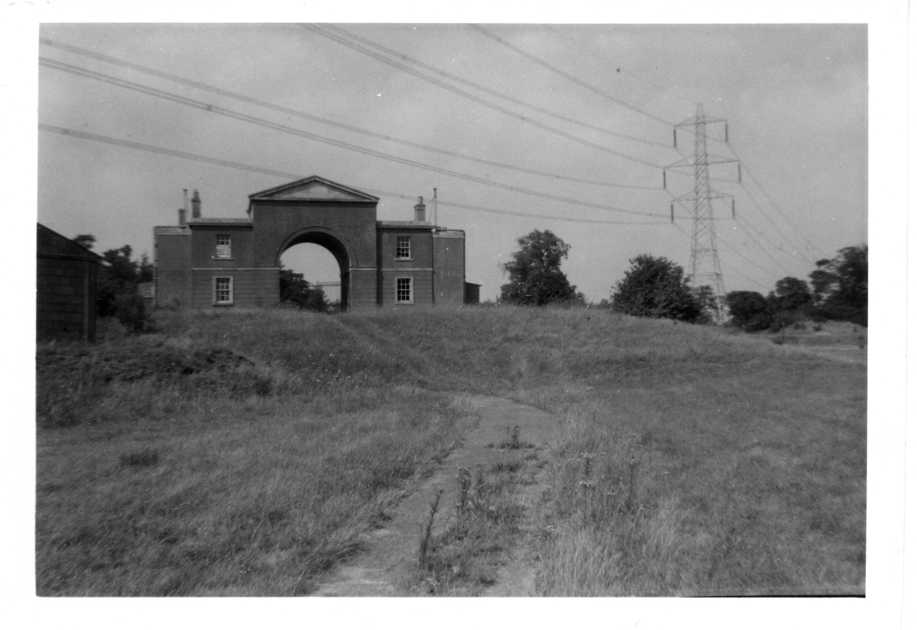
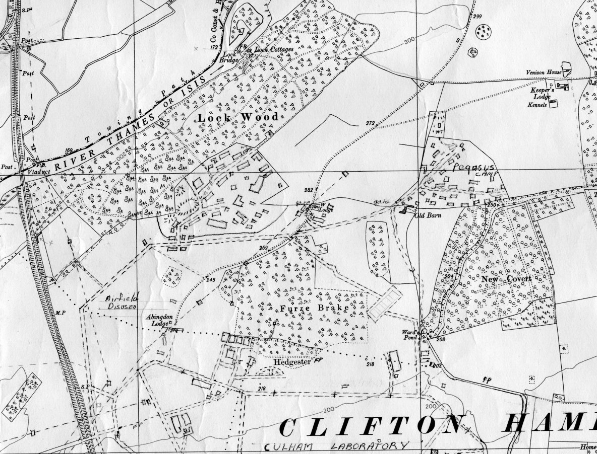
This cottage stood just on the edge of
Lock Wood and backed onto the railway. It may have been empty for a
long time since the war caused its evacuation maybe, but was probably a
gardeners cottage for Nuneham Park. Old maps show greenhouses on the
corner of the wood. This cottage had been completely wiped out when I
re-visited a few years later. Lock Wood, which ran down to the
side of the Thames, was the site of the riverside cottages known as
Lock Cottages and the subject of numerous illustrations in older books
of 19th and early 20th century. They used to stand beside a rustic
bridge to an Island, but was allegedly burnt down as the result of
their mis-use by service men. When exploring down there I found the
remains of the walls and a well but that's another story.
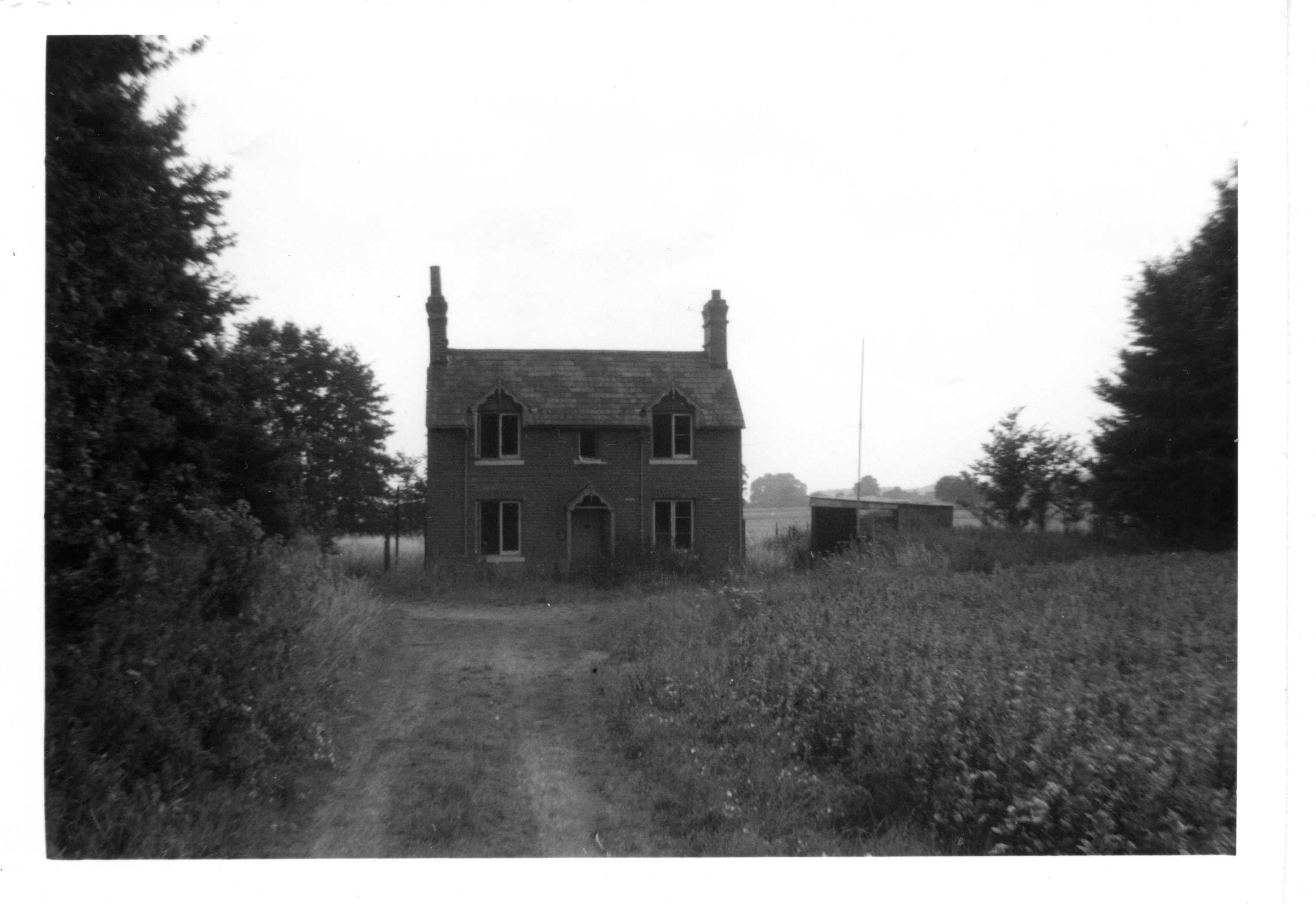
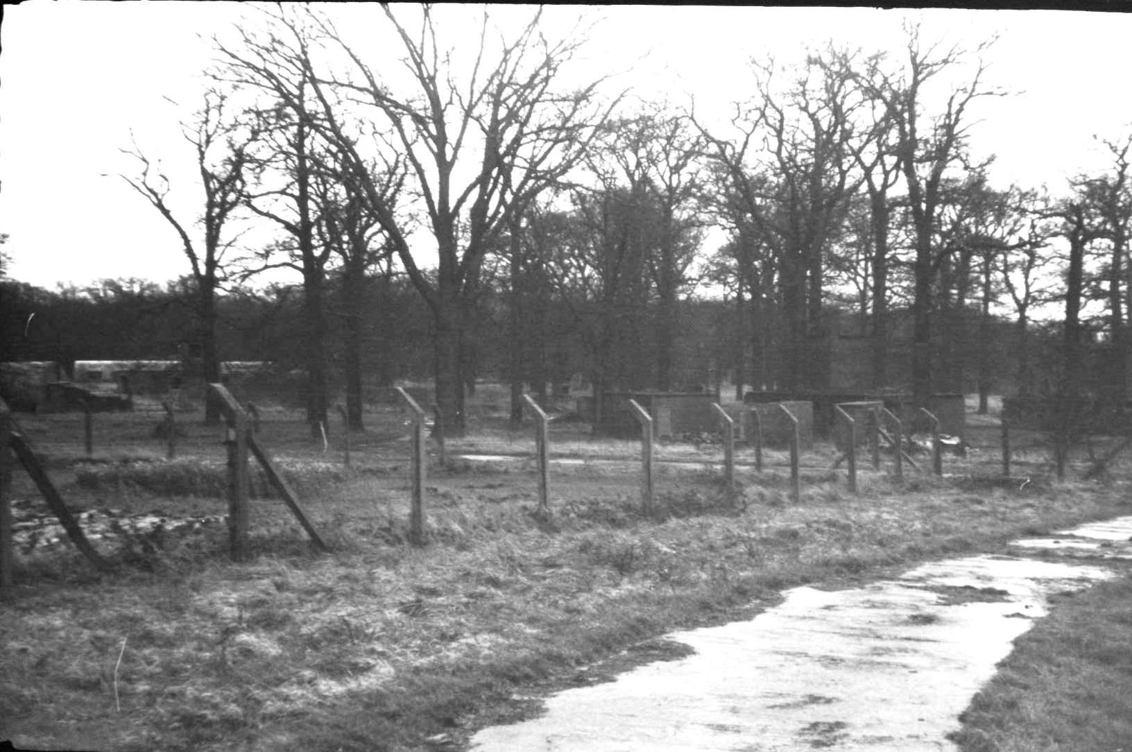
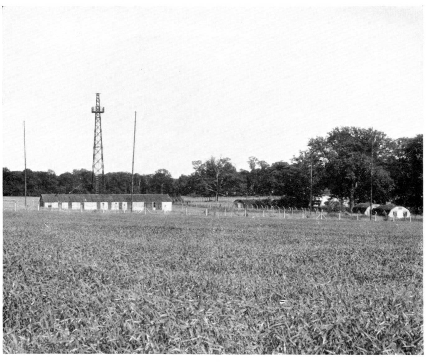
There were two encampment areas
outreaching into the woods which I was most interested in. One at the
north western side was built into the back of Lock Wood. The other was
towards the north eastern side just before reaching Clifton Heath. Some
evidence I found at the time suggested these may have been named, and
that the former was called Fergus camp. Fergus seemed to have more
admisitrative things like offices and a theatre. I recall finding old
pads of waybills, and another item addressed to the commanding
officer at Fergus Camp, RNAS Culham, for the WRNS Galley. The other
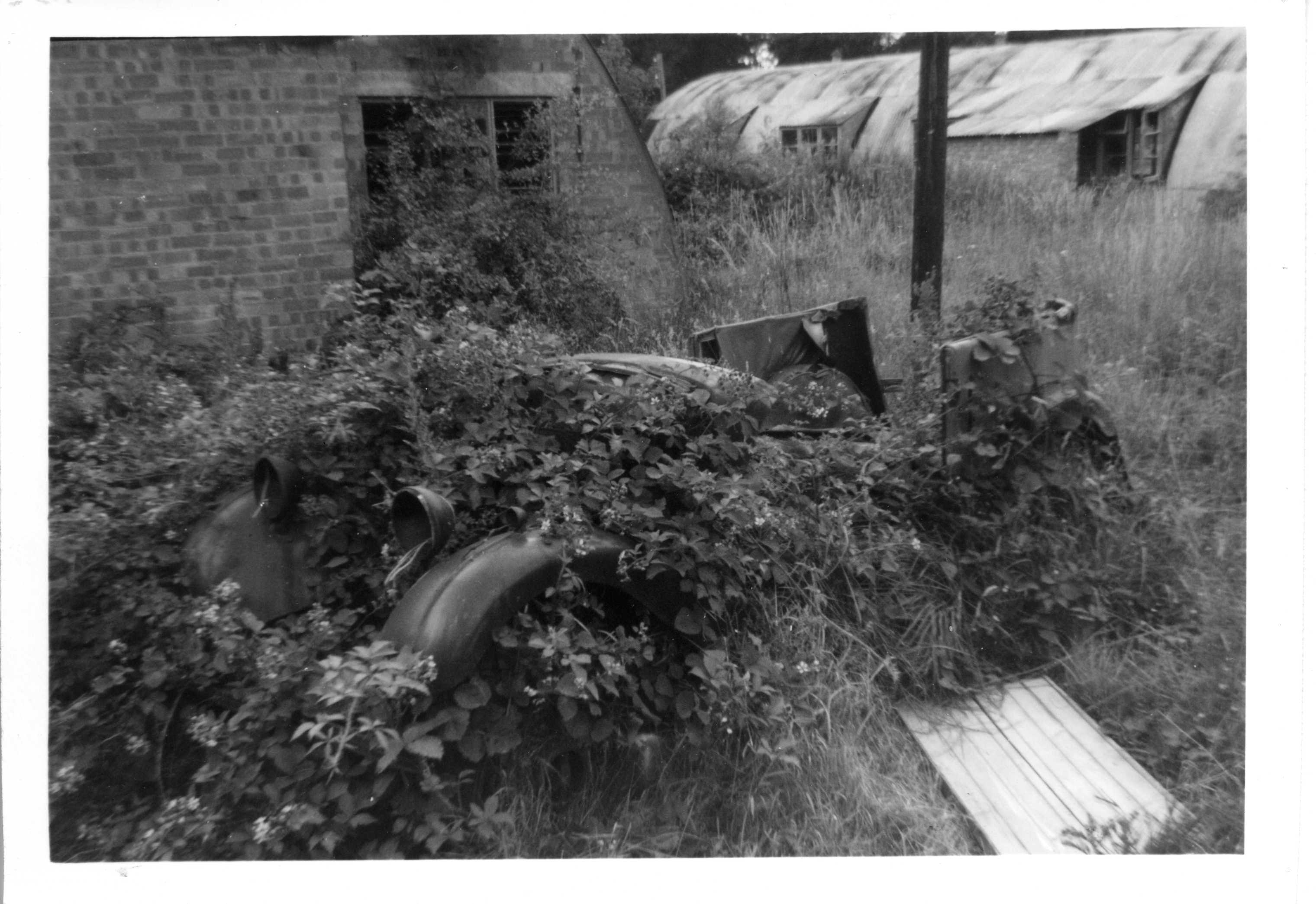
camp may have been more residential with barracks in Nissen huts?
Parked beside one was this old car.
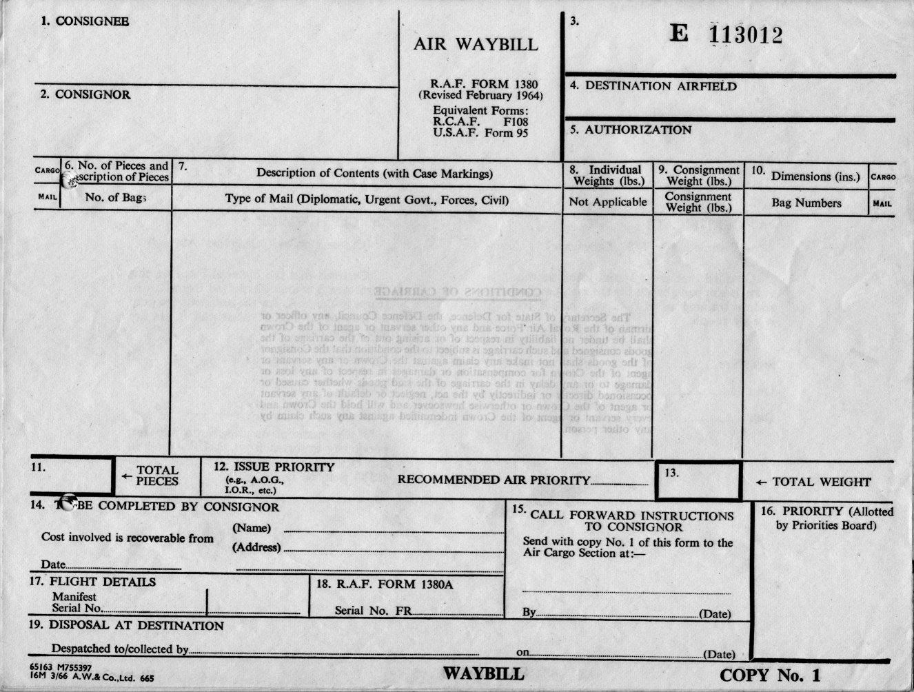
This is one of the old waybill pads I
found at the first (Fergus) camp. Note the date of revision is 1964.
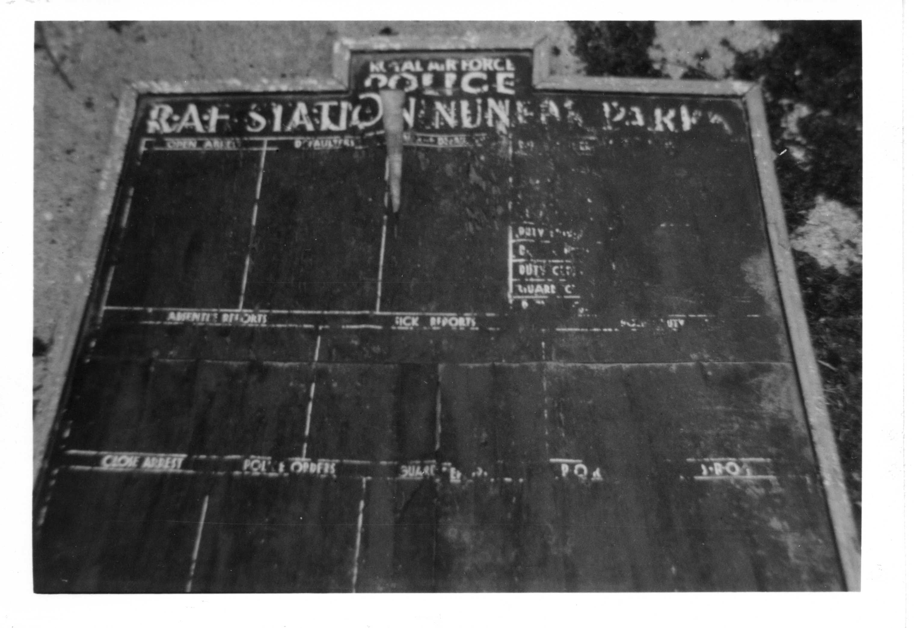
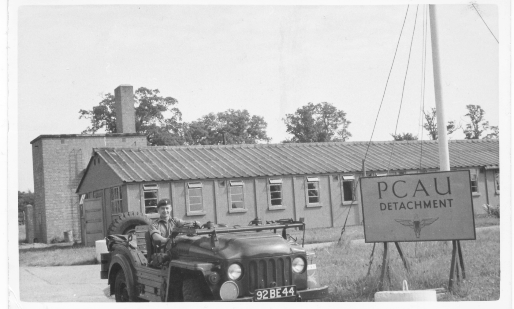
As most records refer to this as a Naval
air station, the wording on this board is rather interesting. However, the Joint Air Reconnaissance Intelligence Centre
was at the same time based at the mansion house next door and known as RAF Nuneham Park.
Maybe the
RAF provided the policing for the airfield too. This was
found, as far as I recall, by a police office on the north eastern
campsite. The spelling of Nuneham seems a bit suspect.
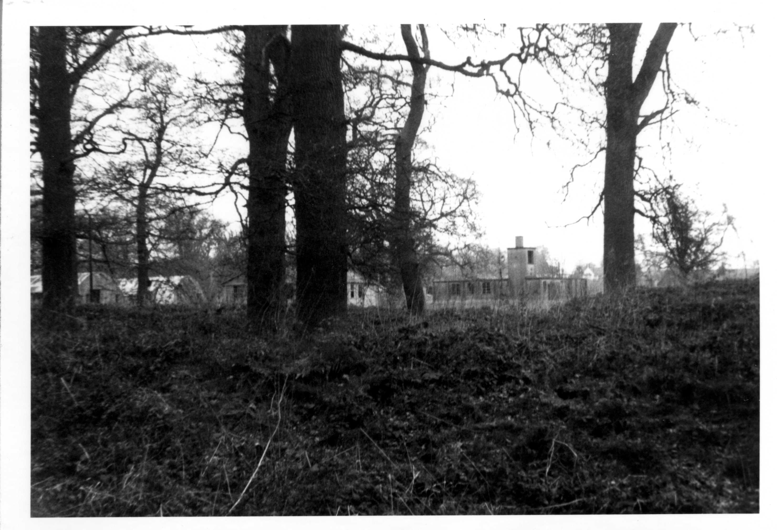
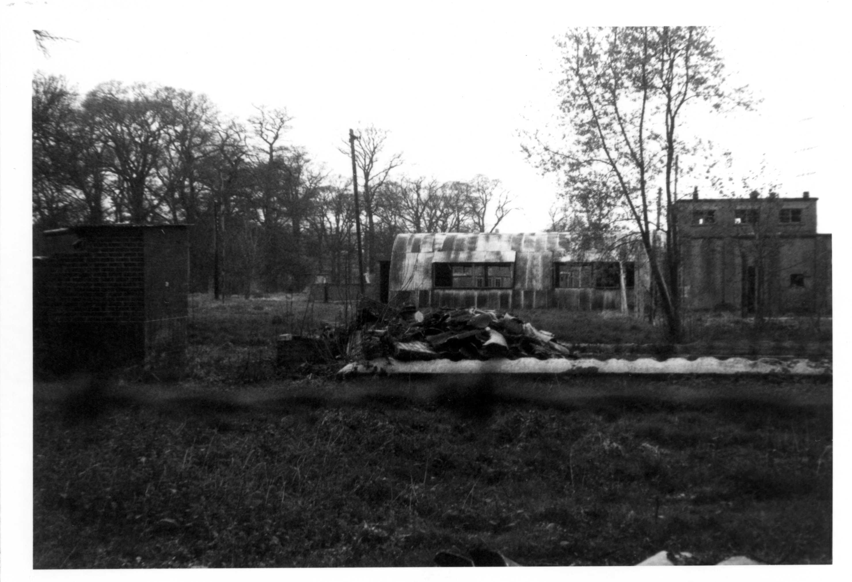
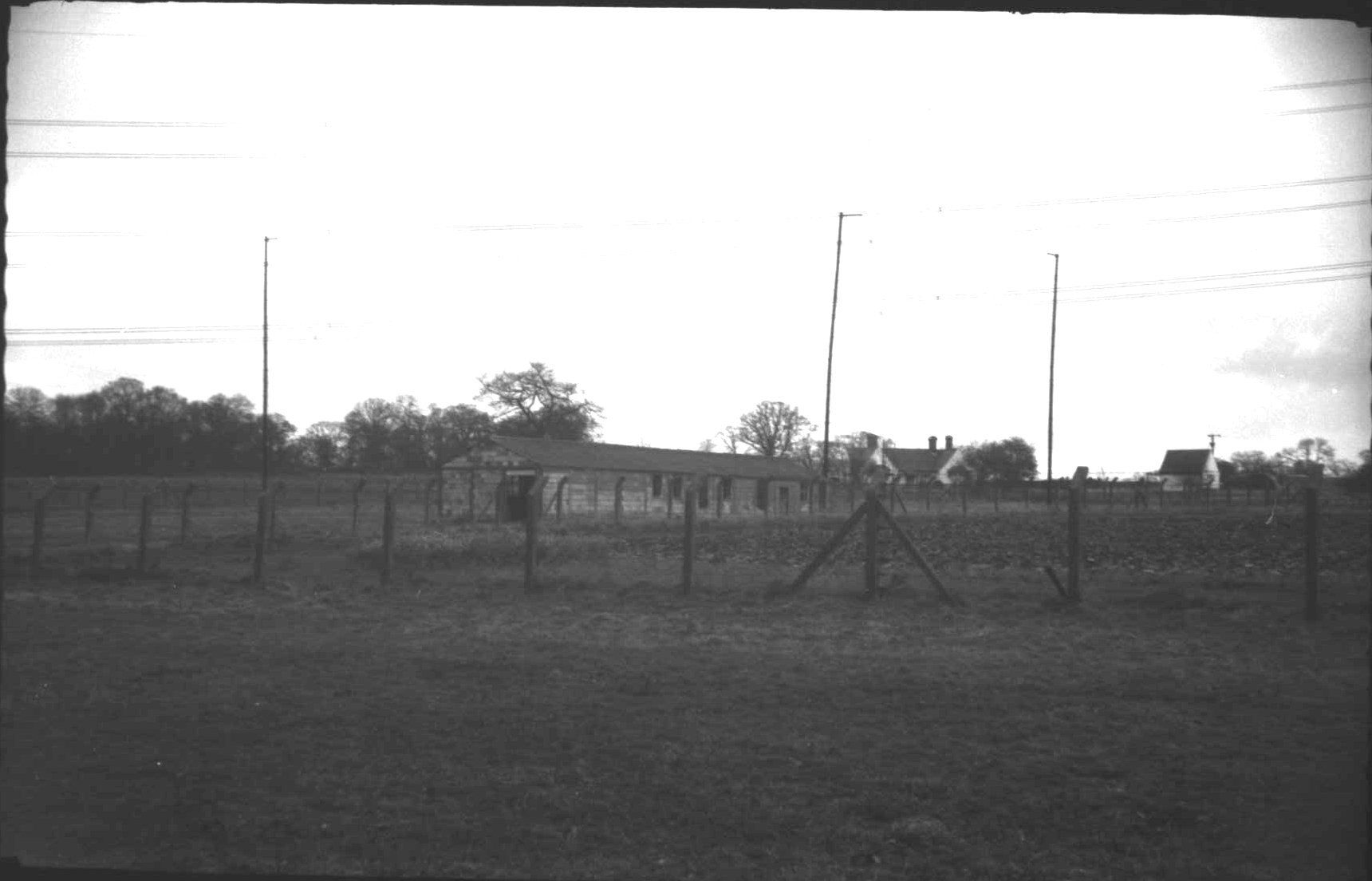
General view of the north eastern camp.
More of the north eastern camp. At this
time someone had started to demolish the occasional building, but not
in any systematic way, which seemed strange. Maybe some yielded useful
materials more than others.
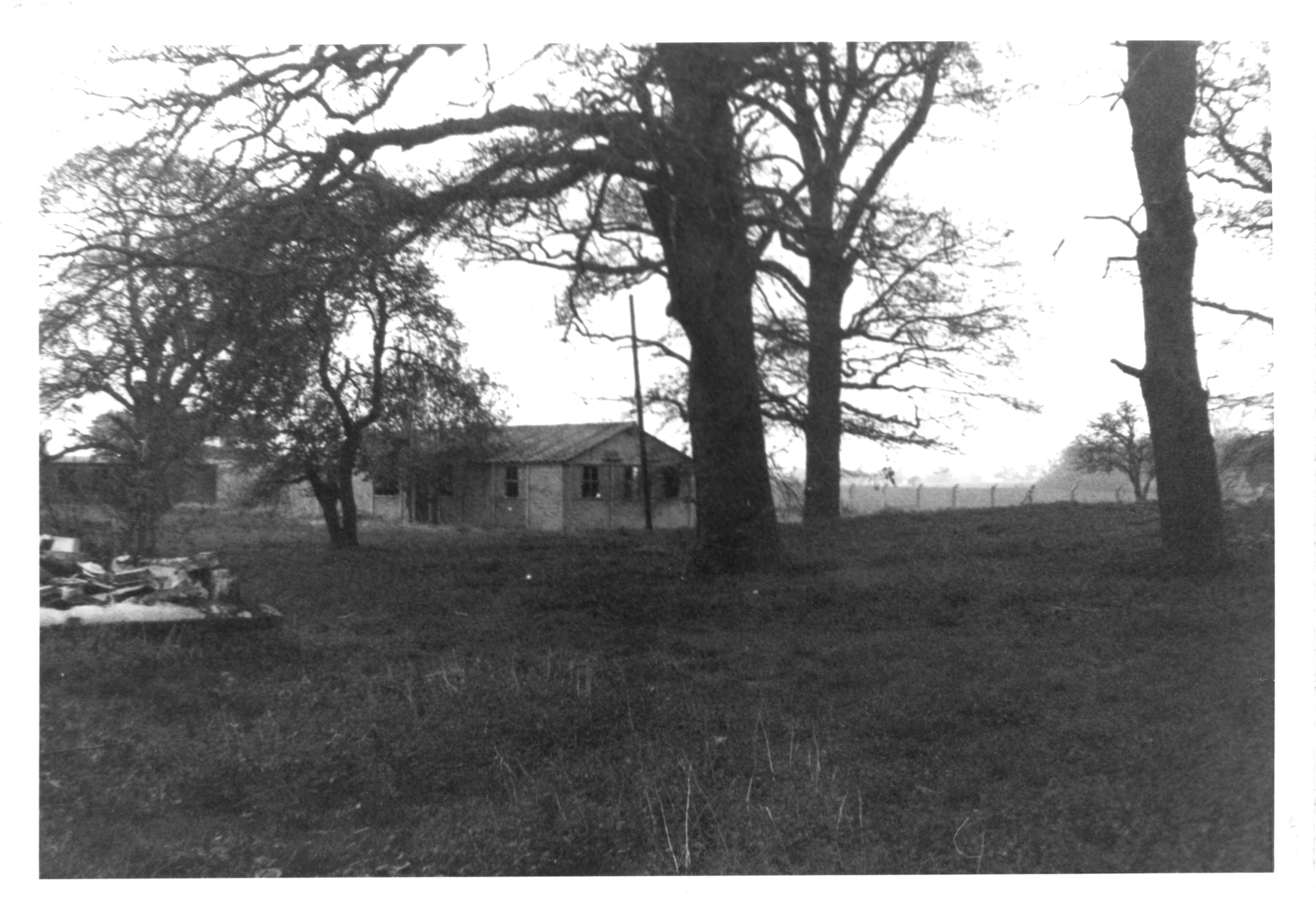
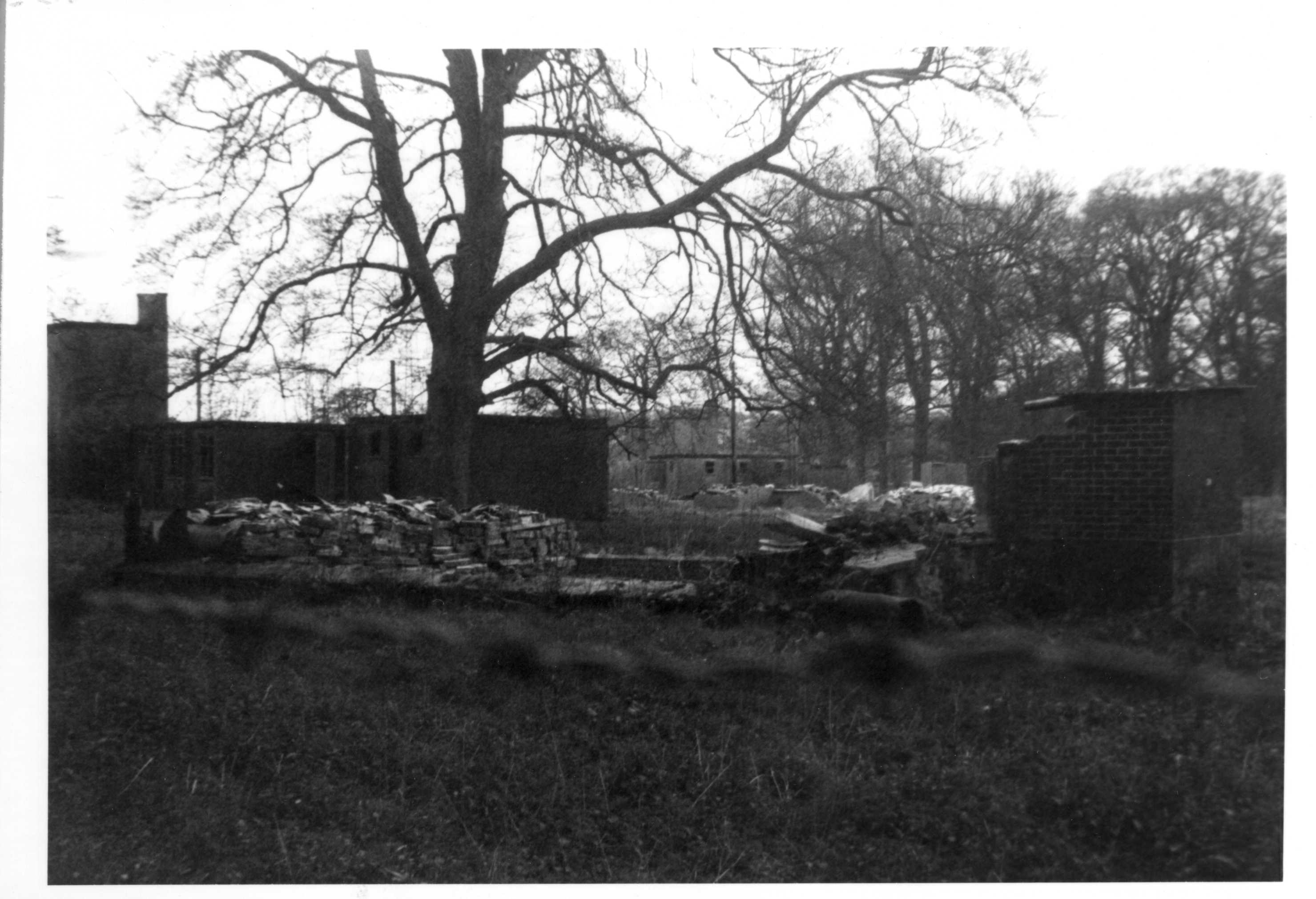
More of the north eastern camp
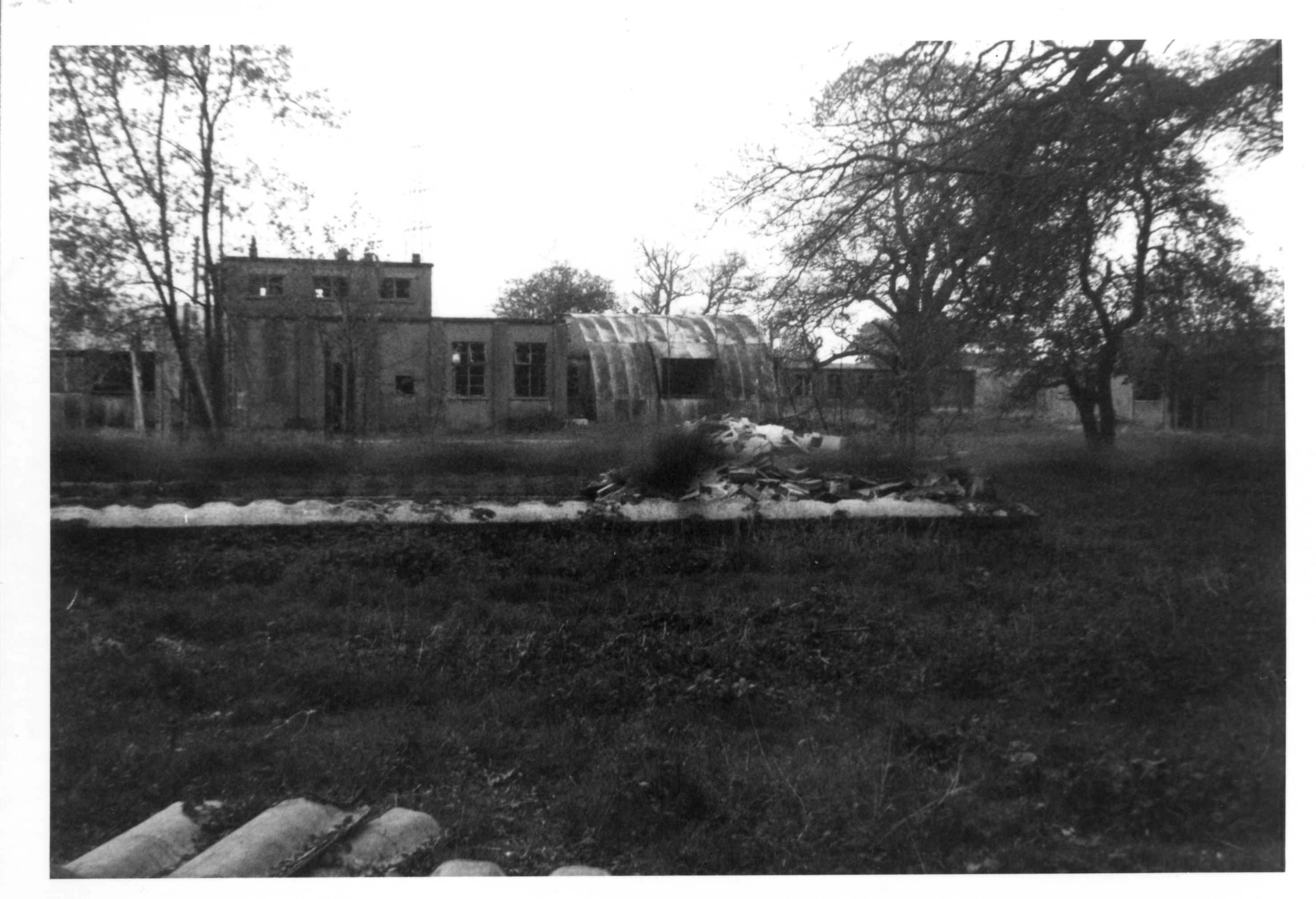
More of the north eastern camp
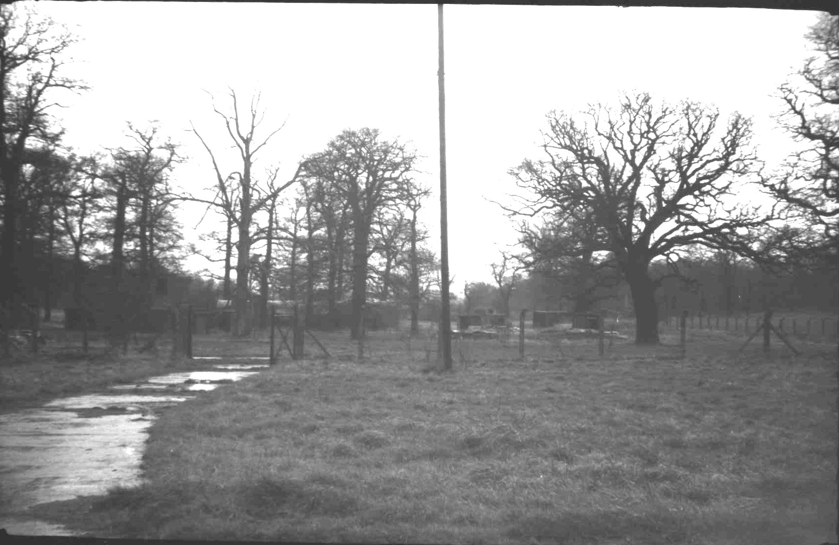
As you progressed north a separate track
between its own wire fences headed out north towards the southern end
of Nuneham Park. This is a view looking back towards the camp.
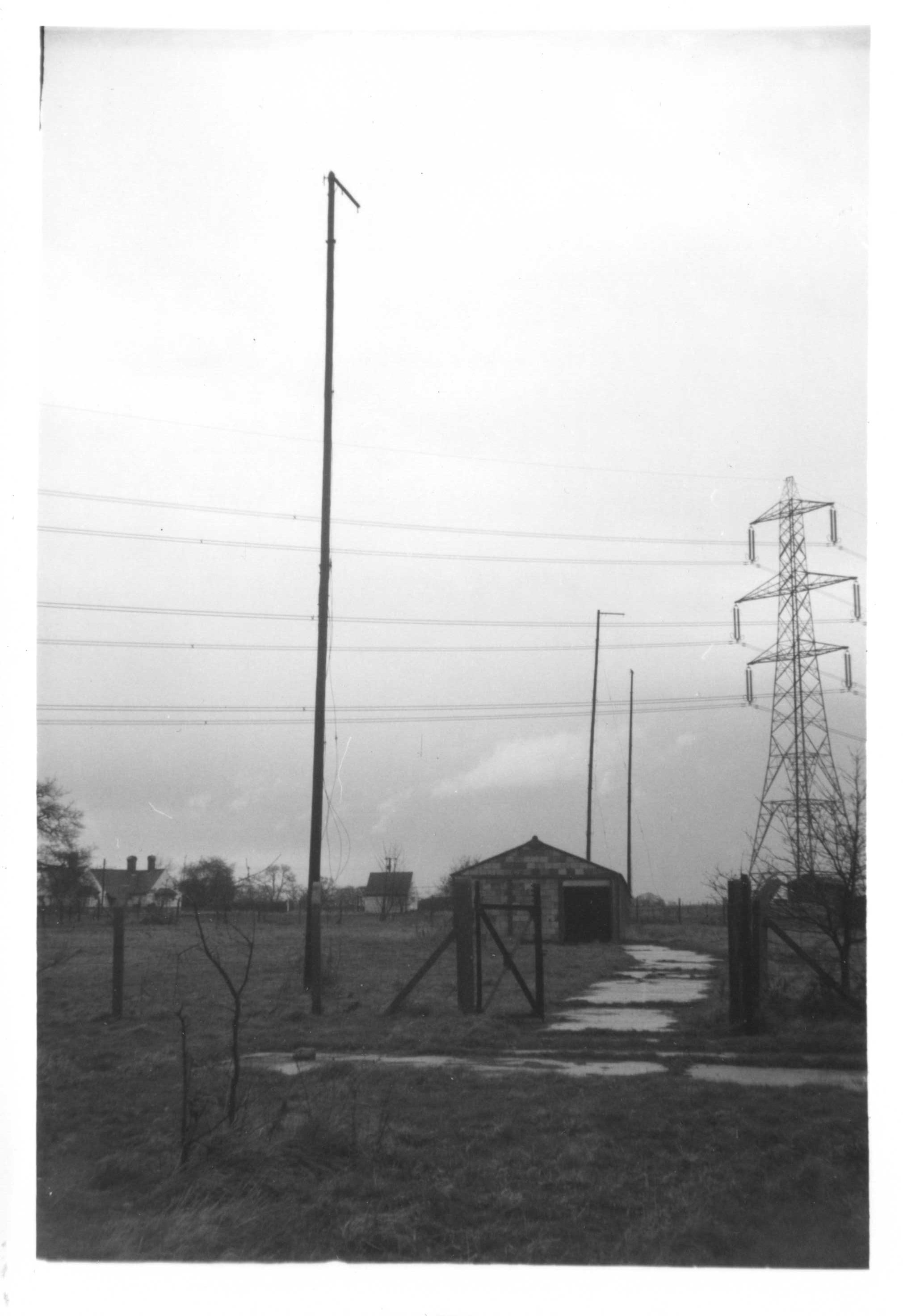
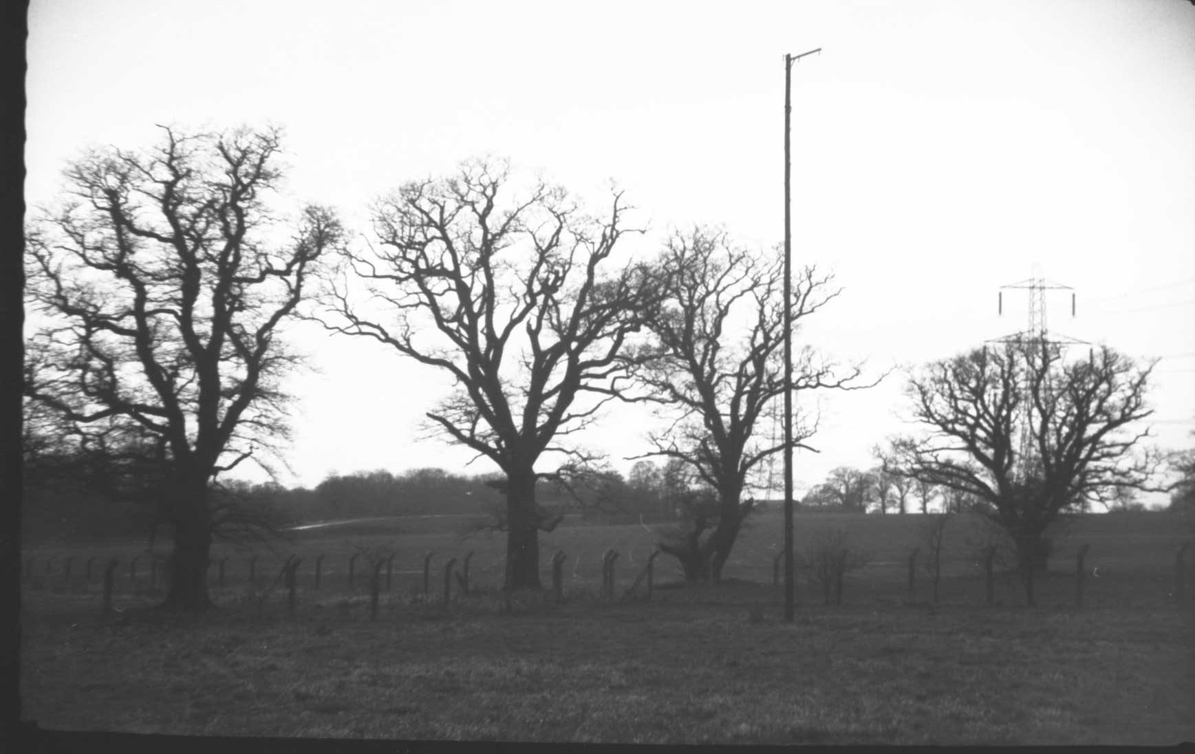
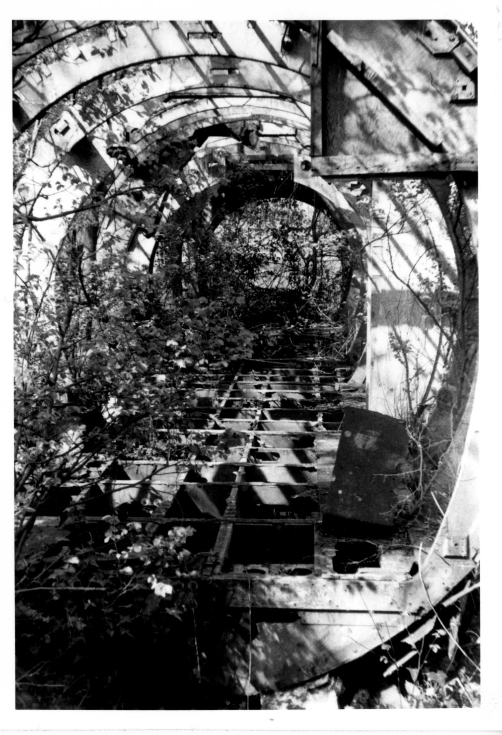
This is where it headed. It appears to
have been an elaborate radio station projecting out up high into
Nuneham park, and is the furthest point north for the whole site. The
high poles carried radio aerials, the remains of which hung down in
forelorn dereliction. They seemed to be wooden telegraph poles joined
together and some had already fallen down. The buildings in the
distance are residential properties in Nuneham Park, although the one
towards the centre looks a bit like it could have been a Post Office
repeater building? Maybe a link in the radio chain?? I would very much
like to find out more details of the purpose of this radio site. I dont
feel it is quite a normal airfield radio operation and was it Navy or
RAF? The High Voltage
pylons had of course only been built recently serving the new Didcot
power station, which extracts its cooling water from the Thames at a
point below Lock Wood.
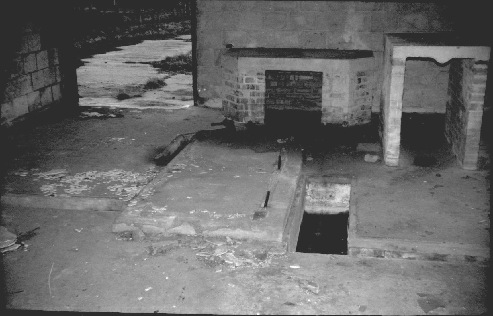
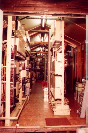
Within the building at the nearest end
the wide door leads to what I fancy was the standby generator room.
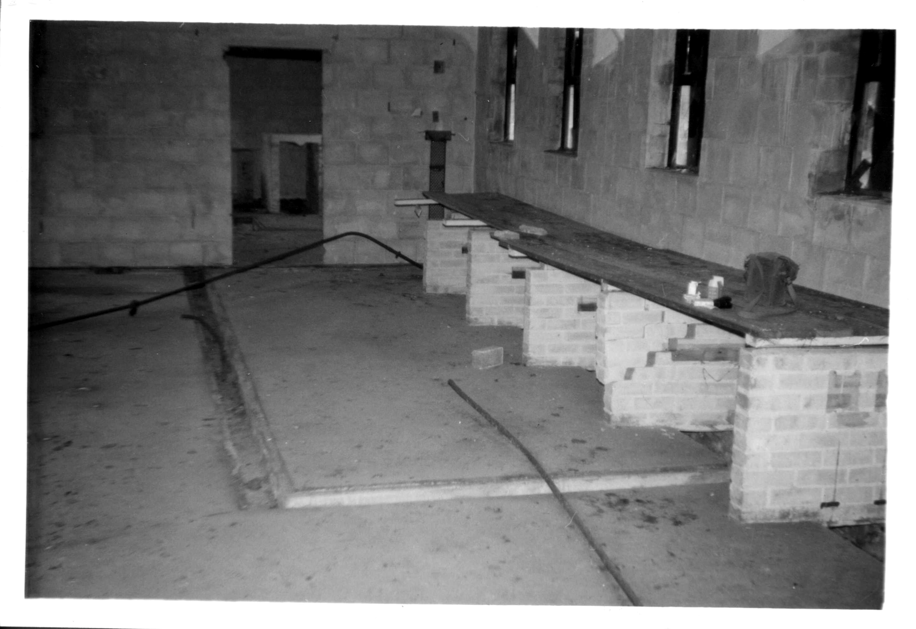
And the next room is either a workshop
or more likely the actual radio equipment room.
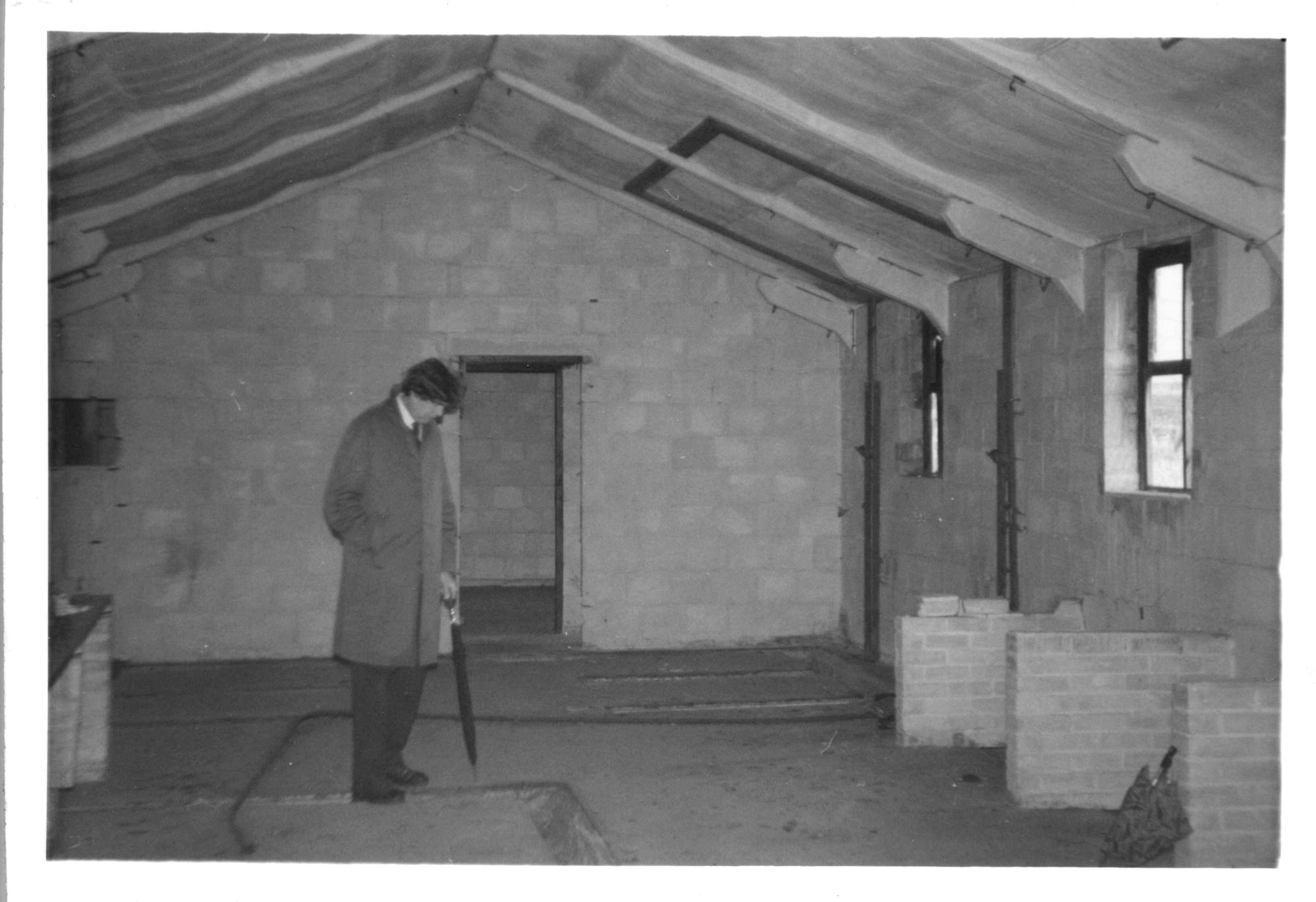
Beyond this was a hallway
and then smaller offices.
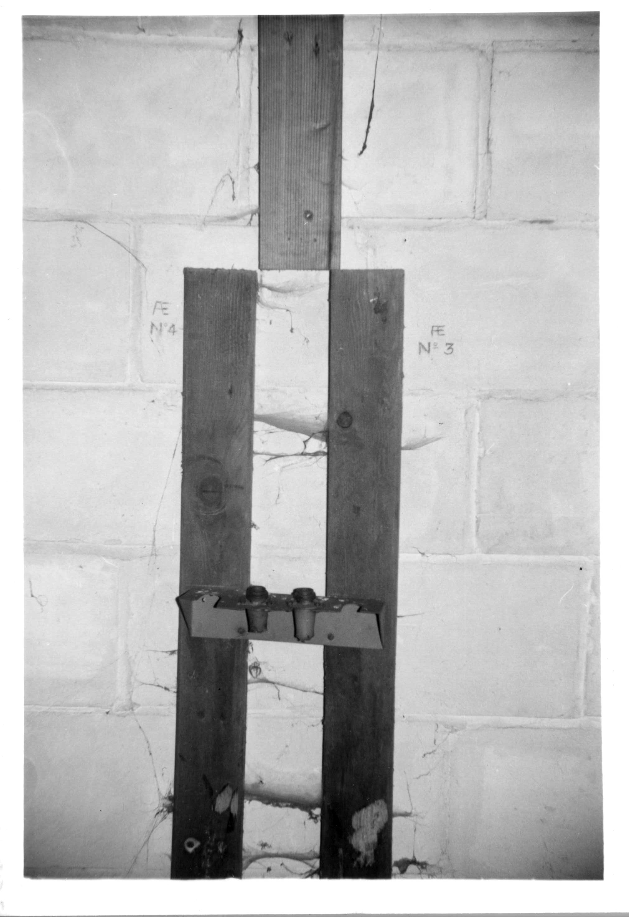
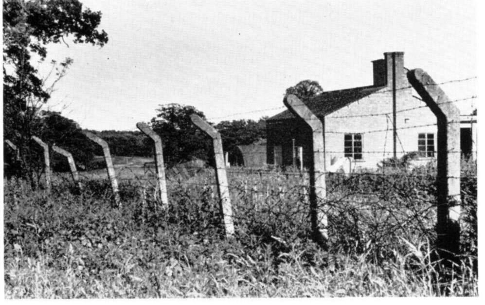
On all the walls were these
assemblies where the aerial feeders appeared to come up from the floor
for routing around the room as required.
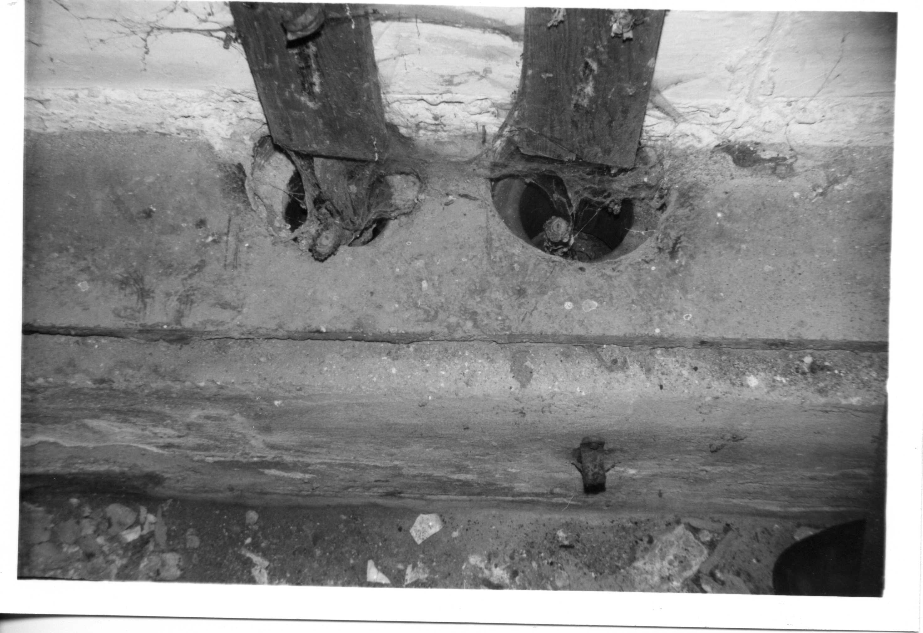
This is one of the coaxial
feeder cables from the aerials.
Switchgear or maybe aerial
grounding points and fuses?
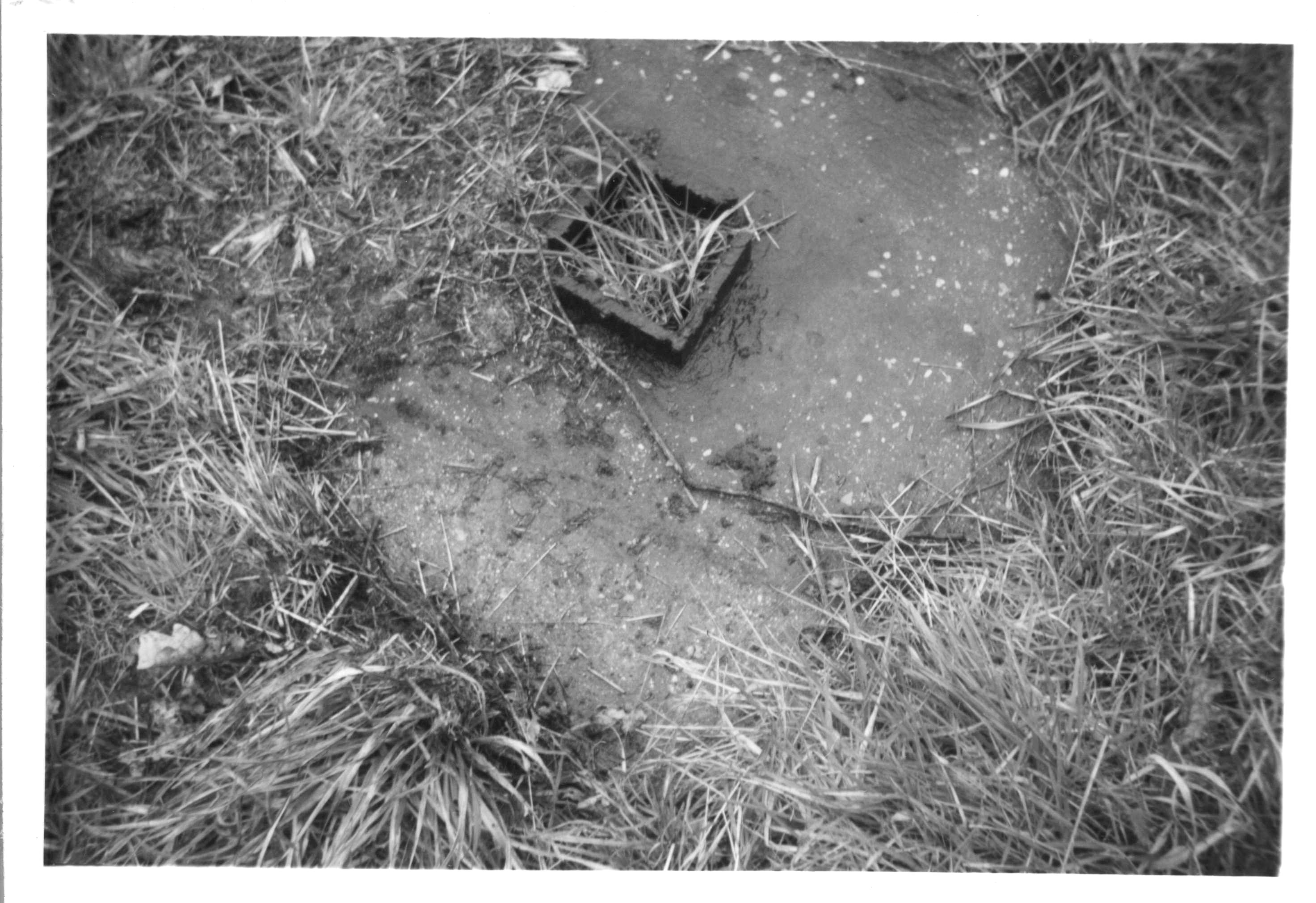
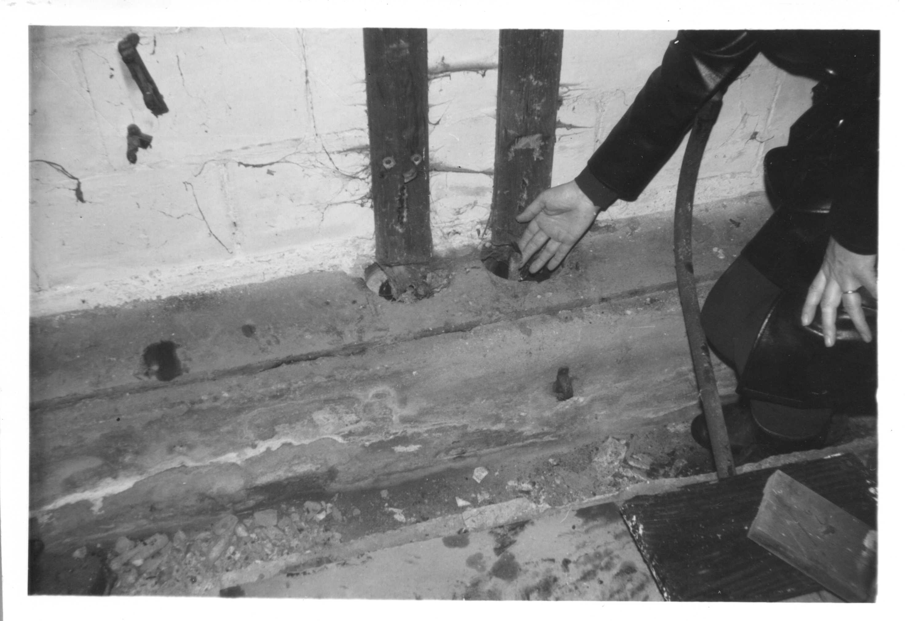
This looks like an old
aerial tower support that has been cut down for scrap. Note the date
"1946" carved into the concrete by the builder!
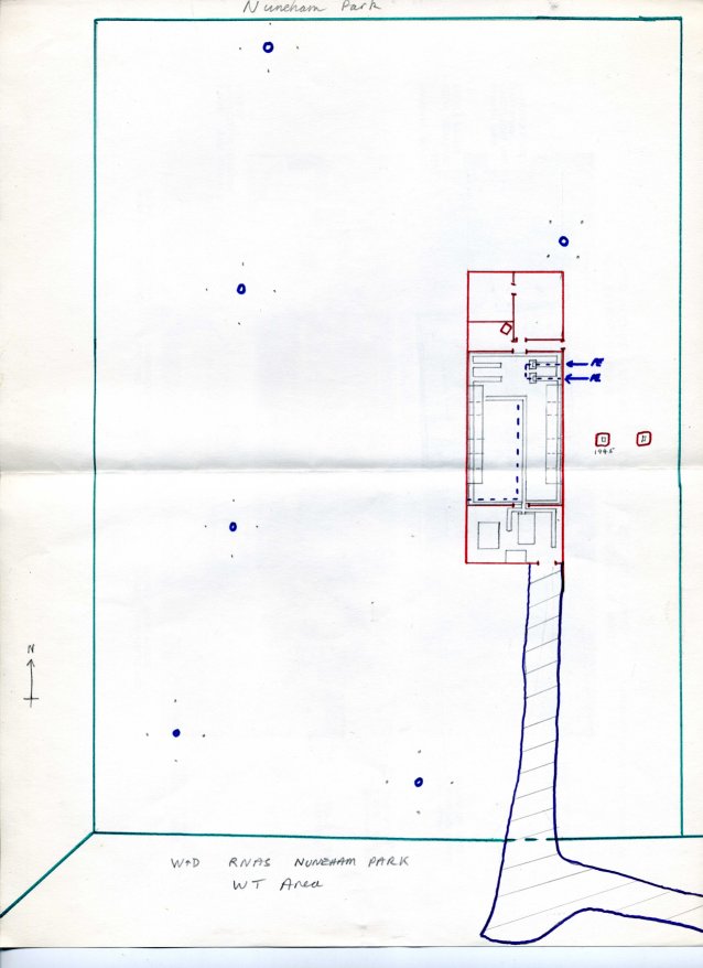
This is a drawing I made at
the time of the station layout.

Anyone remember Timeslip? This was a
childrens sci-fi drama series aired at about the same time as these
pictures were taken. The time barrier depicted in the series was an old
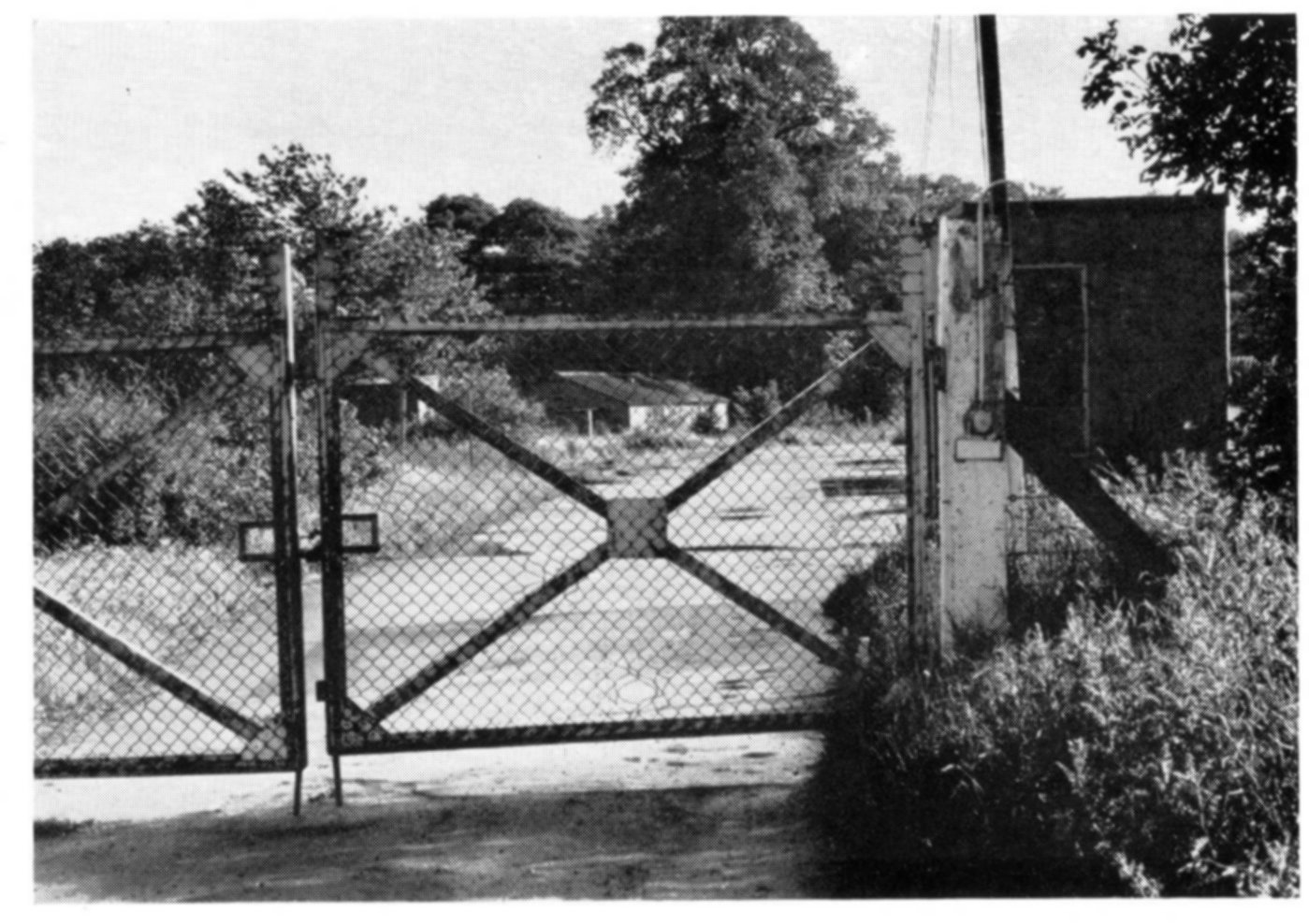
ministry site fence just like this!
I have not visited these areas on foot for
40 years but as far as I can see from Google satellite views every
trace of all these buildings shown above has been completely erased in
a very clinical and effective way.
I was only 15 when I was exploring this
place, and hindsight is a wonderful thing. Everything seemed
straightforward then. If only I could go back there now I feel there
are a number of questions that could still be answered. The RAF waybill
I
found at Fergus camp was dated 1964. This suggests there was serious
activity there in these remote hidden camps even after closure and the
takeover by the UKAEA of the main airfield site. Or maybe NAVY
inefficiency meant they were still sending new batches of forms after
closure! There seemed to be a lot of buildings in both these camps and
not just nissen huts. Some of them were high with second floor windows
like small control towers. The radio station appears to have been
primarily a short wave station, I wonder if it was a listening station
of some sort? If it was a transmitting station I wonder what its
purpose was. Was the station and maybe the north east camp Navy or RAF?
Maybe it integrated in some way with RAF Nuneham rather than HMS
Hornbill. I know the fitting of radios to new aircraft was part of the
tasks undertaken at the airfield, but I think this station is rather
more than for testing purposes. The two camps were quite isolated from
the airfield and the rest of the countryside around and would have been
ideal for carrying out covert work. I bet few of the local people new
they existed during the life of the site when airfield restrictions
would be in force. It was so remote an area that I believe there were
plans to build a prison on parts of this land. Information on HMS
Hornbill and RAF Nuneham is very limited and tends to concentrate on
the airfield activities. I would be interested to hear more from anyone
with further insight into all this.
In fact while writing this I have
discovered the web pages of Mr Carrick Watson who tells us that the
Parachute Course Admin Unit was stationed at Pegasus camp in the 1950s
before being merged into the Abingdon site. So apparently this site was
re-used and I guess named Pegasus due to their presence, but it is
still a mystery as to what went on there before the PCAU took over. On
his site is this nice picture of the old hospital block:
By acknowledgement to Carrick Watson
from his
description, this may have been the block in the centre between the
camps
near the road up to the lodge and gate into Nuneham Park. His website is
http://www.carrickdesign.co.uk/pcauculham.htm
Also, there are some recent pictures taken
by an explorer here.
Below is a map I sketched at the time
showing the important features. I cannot vouch for how accurate this
was or how much artists licence I may have included. But I have just
downloaded a 1975 map showing most of these buildings in a very similar
way, although by that time many were being demolished.
I seemed to have called the north east
site Pegasus. I guess I must have determined this from somewhere
although I cannot recall where after all these years.
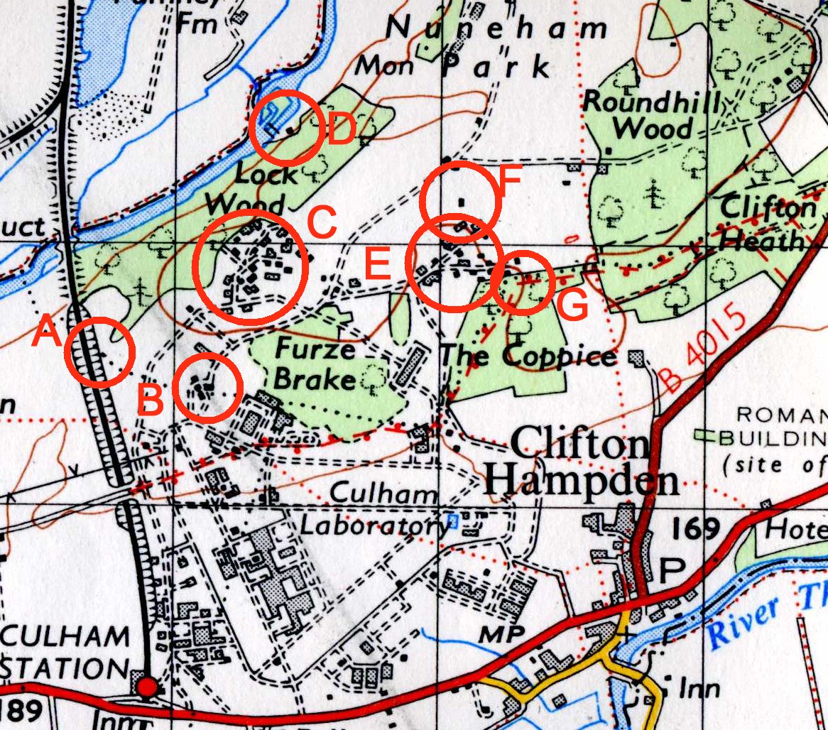
And finally this is a map showing
the various locations where the photos were taken.
Additional photos discovered recently:
This page is maintained by Martin